03 · Map & monitor
GPS tree plotting & mapping
Every tree accurately located on Ordnance Survey mapping to within 1.2 metres, with a to-scale drawing and records you can act on.
Overview
If you own land with trees, you have a duty of care to neighbouring property and to anyone passing by. Plotting gives you an accurate, mapped record of every tree you're responsible for — the starting point for a sensible maintenance plan.
What are the benefits?
Tom's Trees tree plotting.
01
Our software
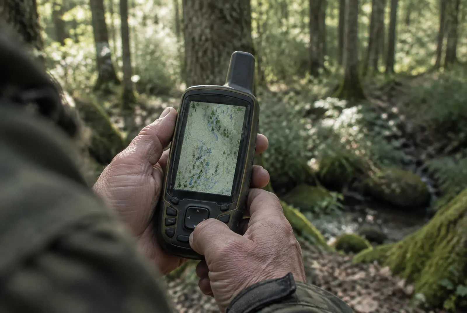
Using GPS technology and OS maps, we provide a map of your plotted trees that is accurate to within 1.2m.
02
Viewing
A ‘to scale’ drawing of your landscape that can help achieve planning permission for future developments and complies with industry standards.
03
Reporting
Plotting, recording and monitoring your trees, with recommendations for any works where required.
Want to know more?
How we approach tree plotting
Trees are plotted on a tailored GPS device to give an accurate location in relation to an Ordnance Survey (OS) map — accurate to 1.2 metres. That precision matters: it gives the landowner reliable information about exactly which trees lie within their boundaries.
The trees within your boundaries are your responsibility. Having them assessed by a professional arborist, with an expertly advised maintenance plan, shows you have done what is reasonably required of you should an incident involving one of your trees ever affect a member of the public. As the saying goes — better to be safe than sorry. The idea is to look after you, the public and the trees.
In their words
Kind words from customers.
“Tom has looked after our large oaks and willows for several years now. He treats them as if they were his own, only doing work which is necessary for either their health or good shape. He is a pleasure to have around!”
Questions
Tree Plotting: common questions
Free quotes & site visits
Need tree plotting?
Tell us about your trees — add a few photos if you can — and Tom will arrange a free site visit and quotation.